Inquiry #5 – Using AI to plan my route
This week I decided to use AI, specifically ChatGPT to plan my bike packing route for my end-of-project trip to try out my acquired skills. Although I don’t totally buy in to AI yet, especially not to plan trips and adventures that I can either a) explore on my own or b) find in a book or map, I thought it would be an interesting experiment since we are talking about integrating tech into our inquiries.
My prompt was: make me a beginner two day bike packing plan from victoria to mayne island with travel routes and distances, a gear list, places to stay, and a menu.
Here is what ChatGPT provided:
🚲 2-Day Beginner Bikepacking Trip
Victoria → Mayne Island (via Swartz Bay)
Total cycling distance: ~55–65 km
Difficulty: Easy–moderate (mostly flat)
Best season: April–October
The ride uses the Lochside Regional Trail, a flat rail-trail route connecting Victoria and Swartz Bay (~29–33 km).
Day 1 — Victoria → Swartz Bay → Mayne Island


4
Distance
- Victoria → Swartz Bay: 30–33 km
- Mayne Island riding (optional): 10–20 km
Route
- Start downtown Victoria.
- Join Galloping Goose Trail briefly.
- Connect to Lochside Regional Trail at Switch Bridge.
- Follow signs north to Sidney → Swartz Bay Ferry Terminal.
The trail is mostly paved, flat, and separated from traffic, making it one of the most beginner-friendly rides in the region.
Suggested Stops
- Swan Lake Nature Sanctuary
- Island View Beach Regional Park
- Sidney waterfront for coffee/snacks
Ferry
- Swartz Bay → Mayne Island (Village Bay)
- Travel time: ~50 minutes.
- Bikes roll on with foot passengers.
Evening Ride (Optional)
Village Bay → Miner’s Bay loop
- Distance: ~8–12 km
- Quiet island roads, light traffic.
Overnight Stay Options (Bike Friendly)
🏕️ Camping
1️⃣ Mayne Island Campground
- Small, relaxed campground
- Near Miner’s Bay
- ~$20–30 per night
2️⃣ Gulf Islands National Park Backcountry Sites
- More rustic camping options in the area.
🛏️ Indoor
- Mayne Island Resort
- Arbutus Ridge Guesthouse
Day 2 — Explore Mayne Island → Return
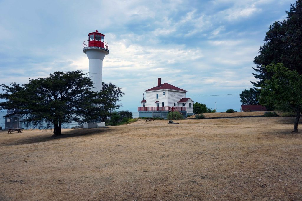


4
Suggested Island Loop
Village Bay → Miner’s Bay → Georgina Point → return
Distance: 20–25 km
Highlights
- Georgina Point Lighthouse
- Dinner Bay Park
- Japanese Garden at Dinner Bay
Most roads are quiet but narrow — ride slowly.
Return
Take afternoon ferry back to Swartz Bay
Ride 30 km Lochside Trail back to Victoria.
Total Distance Overview
| Segment | Distance |
|---|---|
| Victoria → Swartz Bay | ~32 km |
| Mayne Island exploring | 15–25 km |
| Swartz Bay → Victoria | ~32 km |
| Total (2 days) | ~60–75 km |
Very manageable for beginners.
Bikepacking Gear List
Bike Setup
- Bike with rack or frame bags
- 2 water bottles
- Mini pump + patch kit
- Multi-tool
- Spare tube
- Lights (front + rear)
Camping
- Lightweight tent or bivy
- Sleeping bag (5–10°C)
- Sleeping pad
- Headlamp
- Small towel
Clothing
- Cycling shorts
- T-shirt + warm layer
- Rain jacket
- Extra socks
- Sandals or camp shoes
Cooking / Food
- Small stove + fuel
- Pot + spoon
- Lighter
- Mug
Essentials
- Phone + charger
- Ferry payment
- Sunscreen
- Bug spray
- Basic first aid
Simple Bikepacking Menu
Day 1 Breakfast (before leaving)
- Oatmeal
- Banana
- Coffee
Day 1 Lunch (on trail)
- Sandwich or wrap
- Apple
- Trail mix
Day 1 Dinner (camp)
Easy one-pot meal:
- Instant rice
- Tuna or chickpeas
- Olive oil
- Spinach
- Tortilla
Day 2 Breakfast
- Instant oatmeal
- Coffee
- Granola bar
Day 2 Lunch
- Bakery stop in Sidney
- Or:
- Bagel
- Peanut butter
- Fruit
Snacks
- Energy bars
- Trail mix
- Electrolyte drink
Beginner Tips
Bring cash or card for ferry and campground.
Start early morning to avoid ferry rush.
The Lochside Trail has many water and food stops along the route.
Expect wind near the ferry terminal.
My Thoughts
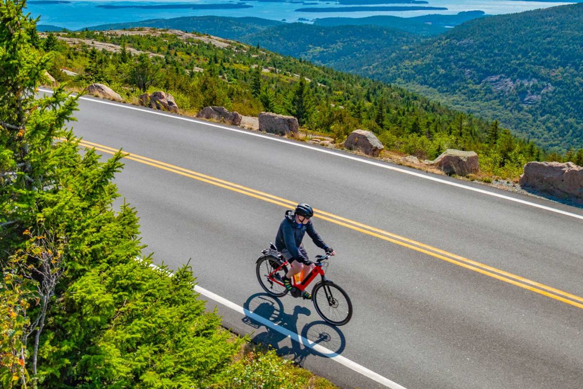
Now this is quite complete and definitely useable. I wasn’t expecting photos, and I wonder how it decided to use that random person’s cycling picture. But all said and done, someone who has no knowledge of the area or very limited bike experience could follow this plan with pretty much guaranteed success. The menu is funny and interesting, because it is probably exactly what I would eat – goes to show that I am a very basic eater when I am adventuring. I could have most likely done this exact trip without using AI, but if I was in a new country or entering unknown lands I would probably find this very helpful. The only issue is that without knowing an area, you don’t know if AI is accurate or not. I know that this Victoria – Mayne Island trip is accurate because I live here. But if I was asking it to prepare more remote information, it may be hard to trust. ChatGPT did ask if I wanted it to create a more adventurous route, or one that is on GPS/Komoot. This is a cool feature that would probably make following the trip even easier.
Komoot Information
Komoot is a biking app that creates routes via waypoints and user comments to help cyclists adventure. This is what ChatGPT provided to enter into Komoot:
🚲 Komoot Route: Victoria → Mayne Island (2-Day Bikepacking)
Day 1 Route (Victoria → Swartz Bay Ferry)

4
Distance: ~32 km
Elevation: ~120 m
Surface: mostly paved bike trail
Komoot route points
Add these waypoints in order:
- Victoria Inner Harbour
- Switch Bridge (Galloping Goose junction)
- Swan Lake Nature Sanctuary
- Cordova Bay
- Sidney Waterfront
- Swartz Bay Ferry Terminal
Komoot will automatically route you along the Lochside Regional Trail, a 29 km multi-use trail connecting Victoria to Swartz Bay.
This trail is ideal for beginners because it’s mostly flat and separated from traffic.
Expected time
- Easy touring pace: 2–3 hours
Ferry Segment
Swartz Bay → Village Bay (Mayne Island)
- Ferry time: ~50 minutes
- Bikes roll on with foot passengers.
Day 1 Afternoon Komoot Loop (Mayne Island)

4
Distance: 12–20 km depending on loop.
Komoot waypoints
- Village Bay Ferry Terminal
- Miner’s Bay
- Dinner Bay Park
- Japanese Garden
- Georgina Point Lighthouse
- Return to campground
Typical island ride distance: 15–25 km
The island has quiet rural roads and about 30 km of paved riding if you loop most of it.
Day 2 Route
Reverse the trip:
Village Bay → Swartz Bay → Victoria
Distance: ~32 km back on the Lochside Trail.
📍 Total Trip Distance
| Segment | Distance |
|---|---|
| Victoria → Swartz Bay | ~32 km |
| Mayne Island riding | 15–25 km |
| Return ride | ~32 km |
| Total | ~65–80 km |
Perfect for beginner bikepacking.
How To Build The Route In Komoot
- Open Komoot → Plan → Bike Touring
- Set Start: Victoria Inner Harbour
- Add waypoint Sidney BC
- Add Swartz Bay Ferry Terminal
- Save as Day 1 route
- Create second route on Mayne Island.
Komoot will automatically follow the bike trails.
Bonus: GPX-style Route List (copy into Komoot)
Day 1
Victoria Inner Harbour
Switch Bridge
Swan Lake
Cordova Bay
Sidney Waterfront
Swartz Bay Ferry Terminal
Day 2
Village Bay Ferry Terminal
Miner’s Bay
Dinner Bay Park
Georgina Point Lighthouse
Village Bay Ferry
This is pretty similar to just the ChatGPT information, but I like that it provides waypoints to add directly into the Komoot app. Similarly, not necessary for this specific trip but may be helpful for unknown routes. Adding tech into adventuring is a little bit of a grey area for me, but I do like the ease of use that generative AI adds to the picture. I don’t think I’ll be using AI to plan my trips anytime soon, but it was a fun experiment to see what is available.
Astrid, a very detailed analysis. I was surprised at what ChatGPT provided as an output. A generalized GenAI model has a lot of data to sort through, and that is where mistakes happen. A specialized app using AI, like Komoot, is a more trustworthy option. At least, there is human intention and guidance in what the app will output. Thanks for sharing! Oh, and it looks like a wonderful trip.